Storm Chase Log 18 May 2017
Chaser: Dorian J. Burnette
Preliminary Destination: Cherokee, OK
Note: Images have been decreased in size. Click on an image to view a larger version.
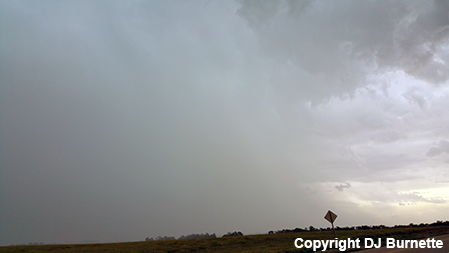
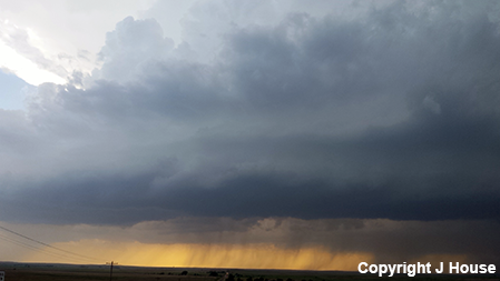
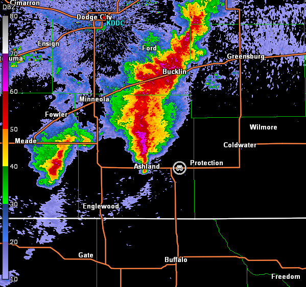
This was day one of a two-day storm chase in the southern Plains, and what could have been a tornado outbreak quickly became more subdued due to storms developing too close to one another leading to complex interactions. This was not entirely unexpected (see 13Z Storm Prediction Center Day 1 Outlook). I arrived in Cherokee, OK by the mid-afternoon, and sat at the U.S. 64/OK-11 interchange observing the messy radar to my west. Eventually, a storm moving toward Alva became tornado-warned, so I moved west on U.S. 64 to intercept. Unfortunately, I moved on the storm a bit late, and by the time I arrived east of Alva, I encountered a rain-wrapped mess (image below; view east of Alva, looking northwest). Circulation was noted on radar (images below; car symbol denotes my location), but I couldn't see anything.
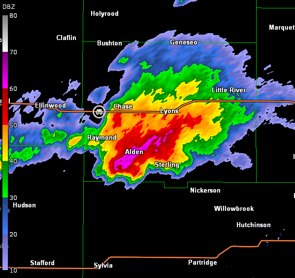
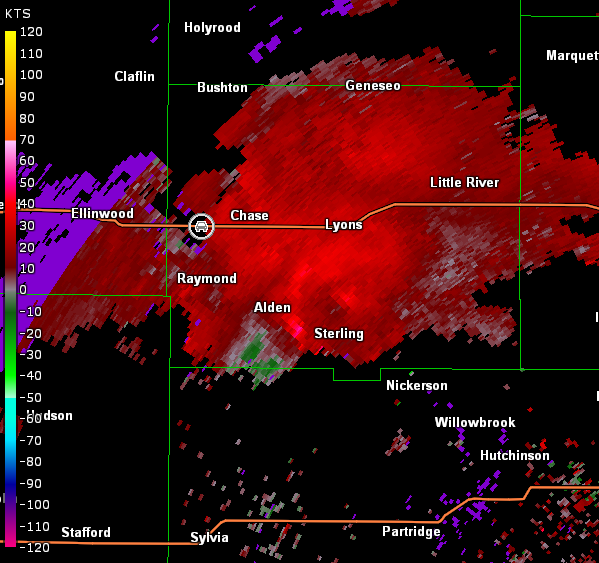
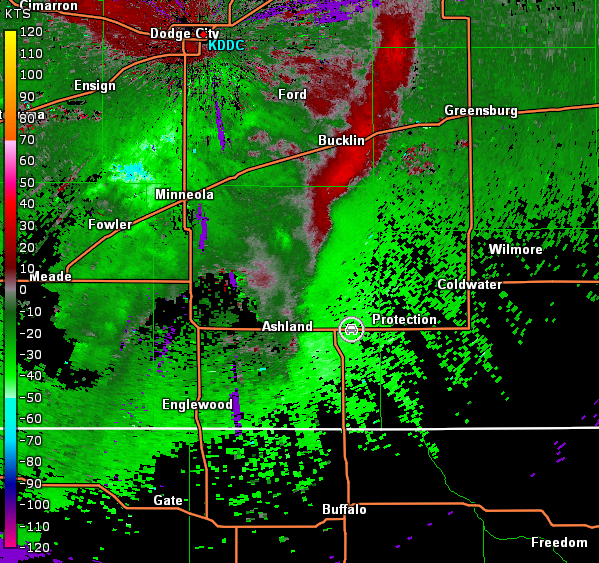
Vance Air Force Base, OK Storm Relative Velocity 2153Z
After looking at the radar trends, I decided to drop south toward a storm producing tornadoes near Waynoka (noted in the radar data above). In order to do that though, I had to swing wide around the forward-flank of the storm and head through Cherokee and south-southwest through Carmen, OK. By the time I had done that maneuver, the storm had diminished in intensity.
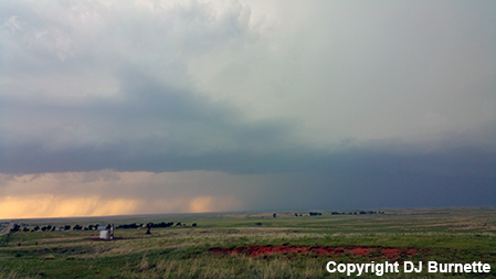
Another interesting cell was located farther to the southwest in vicinity of Camargo, OK, so I decided to move in that direction. I intercepted the storm southeast of Seiling, OK, but it was all outflow by then and all I observed was a shelf cloud (images below; view is southeast of Seiling, looking west). Radar data are also included below (car symbol denotes my location).

Vance Air Force Base, OK Storm Relative Velocity 2336Z
Vance Air Force Base, OK Base Reflectivity 2342Z
Vance Air Force Base, OK Storm Relative Velocity 2342Z
Vance Air Force Base, OK Base Reflectivity 2347Z
Vance Air Force Base, OK Storm Relative Velocity 2347Z
Overall, this was a difficult storm chase. Typically, on big outbreaks, you can just pick any storm and go with it. However, that was not the case on this day, and I was too late in changing tactics. I stayed with the storm near Seiling a little while longer before breaking off and heading to Clinton, OK to prepare for tomorrow's chase.