Storm Chase Log 10 June 2005
Chasers: Dorian J. Burnette, Brittany Millspaugh, and Cory Phelps
Preliminary Destination: Woodward, OK
Note: Images have been decreased in size. Click on an image to view a larger version.
The potential for severe thunderstorms on this particular day looked rather good earlier in the week, but as the period approached the potential for limited sunshine and early thunderstorm development increased killing the chances of any large outbreak despite a rather potent shortwave trough moving through. Some good sunshine was occurring in northern OK during the morning hours though and additional development was slow to start, so we moved down I-35 into northern OK and eventually stopped in Enid, OK. We traveled to the Enid Public Library after lunch in order to look at data on the Internet, since Verizon continues to have a very large data hole in northwestern OK and I was unable to connect that way. The radar data revealed a number of thunderstorms off to our west and northwest. None of which looked impressive. An outflow boundary from thunderstorms that morning remained located across northern OK, so any thunderstorms that could intersect it could become interesting. Thus, we continued west out of Enid, OK toward the thunderstorms.
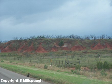
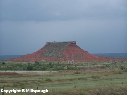
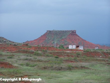
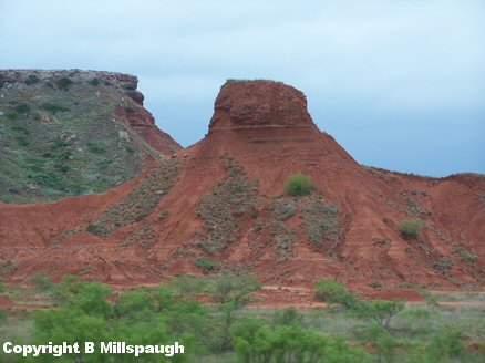
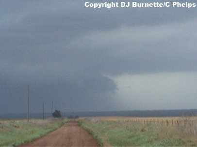
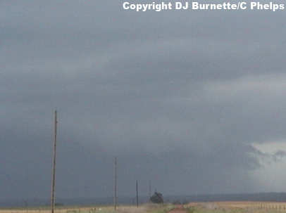
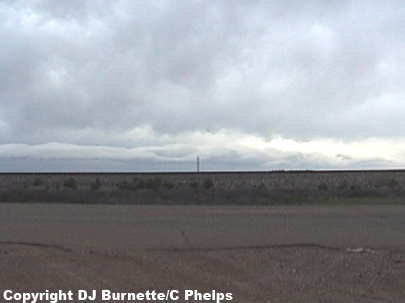
West of Orienta, OK, we noticed a decent shelf cloud with one of the storms. Before finding a good stop to view the storm, Brittany was able to capture some awesome pictures of the terrain in northwestern OK (images below).
We then stopped to view the shelf cloud and noted some cloud-to-ground lightning. Overall, the storm was not that impressive though and completely outflow dominant. The images below were taken during this time (view is west of Orienta and southeast of Waynoka on U.S. 412 looking north).
We proceeded on to the west to look at other storms in that direction. We eventually heard of a tornado warning for a storm farther to the northeast of us around Dacoma though, and decided to move north on U.S. 281 briefly and call KSNW-TV for input on that storm. Dave Freeman mentioned to us that the tornado was likely a brief spinup as the parent thunderstorm intersected the outflow boundary noted now across far northern Oklahoma. He also mentioned that there was a convectively induced vorticity maximum moving north-northeast out of the TX Panhandle toward the OK Panhandle. If storms could develop under it, then that could make for an interesting show. Thus, we decided to continue on toward our original destination of Woodward, OK keeping an eye on the storms that we pass by and then move northwest into the OK Panhandle.
We moved through some very heavy rainfall on our way, which came complete with plenty of cloud-to-ground lightning. There were no hail encounters though. We moved into the tail end of one of the storms as we entered Woodward, OK. We also noted what appeared to us to be smoke rising up toward the rain-free base of the storm. We eventually verified that it was smoke from a factory, but this could have easily been mistaken for a weak tornado and shows how careful we must be in reporting.
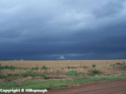
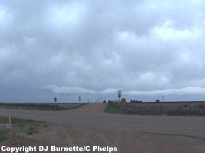
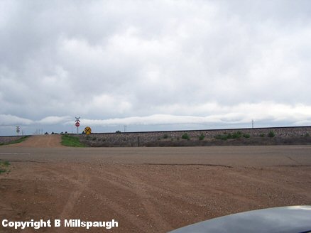
We continued northwest into the Oklahoma Panhandle. We eventually ended up at the intersection of U.S. 412 and Highway 23 south of Beaver, OK. Upon calling KSN and WeatherData we found that we were in between several areas of thunderstorms--one area off to the east, another off to the south, and another off to the west. We decided to continue on to the west toward the storms coming toward us from the west. On our way we observed a total of 7 tumbleweeds and synoptic-scale winds on the order of 40 to 50 mph, and we reported that information to WeatherData. We eventually arrived in Guymon, OK and noticed the line of thunderstorms moving toward us. We moved northeast on U.S. 54 and stopped northeast of Hooker, OK to take the last few images of a shelf cloud (images below; view is northeast of Hooker, OK looking southwest).
These storms really did not seem that impressive to us and with darkness approaching, we decided to begin the journey back to Wichita. On our way, we checked the Meade, KS area for damage from the severe thunderstorm event the previous night. We were unable to find much other than limbs down. We also stopped at a site that has been noteworthy on previous storm chases--Zeek's One Stop in Bucklin, KS (29 May 2001; 10 June 2002). Alas, their "wall of fame" had been taken down.
Thanks to Dave Freeman and Drew Davis at KSNW-TV and to Mike Doll and Scott Breit at WeatherData for nowcasting support.