Storm Chase Log 15 May 2009
Chasers: Dorian J. Burnette and Jessica Black
Preliminary Destination: Alva, OK
Note: Images have been decreased in size. Click on an image to view a larger version.
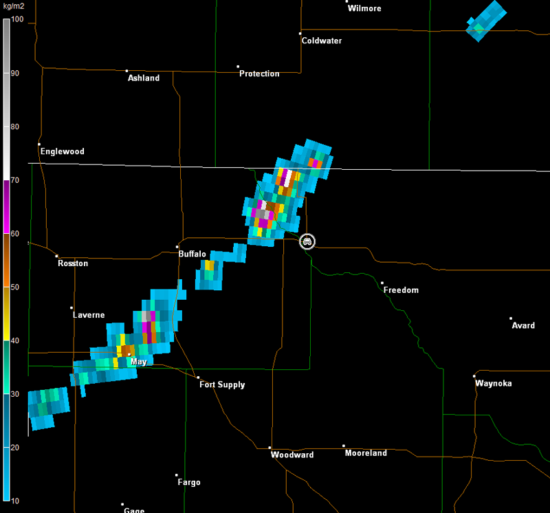
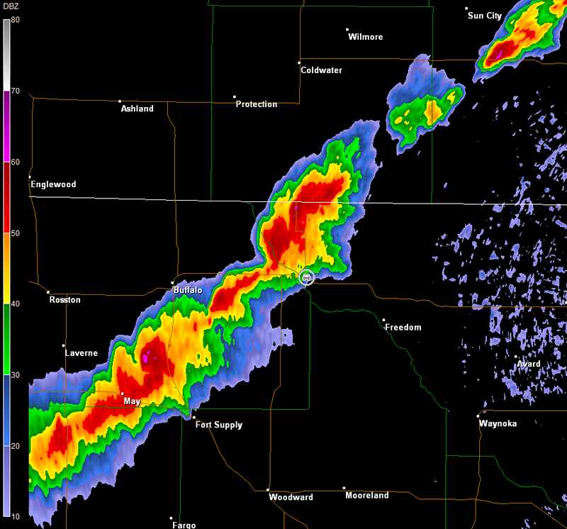
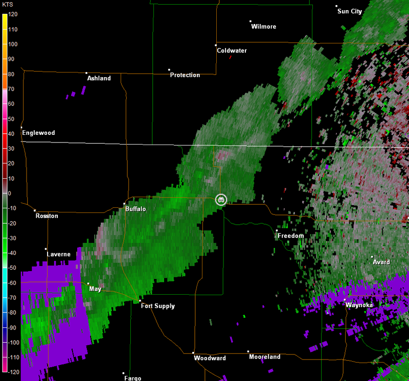
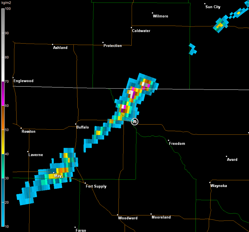
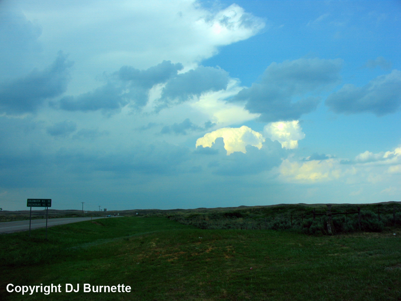
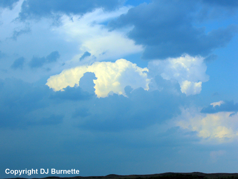
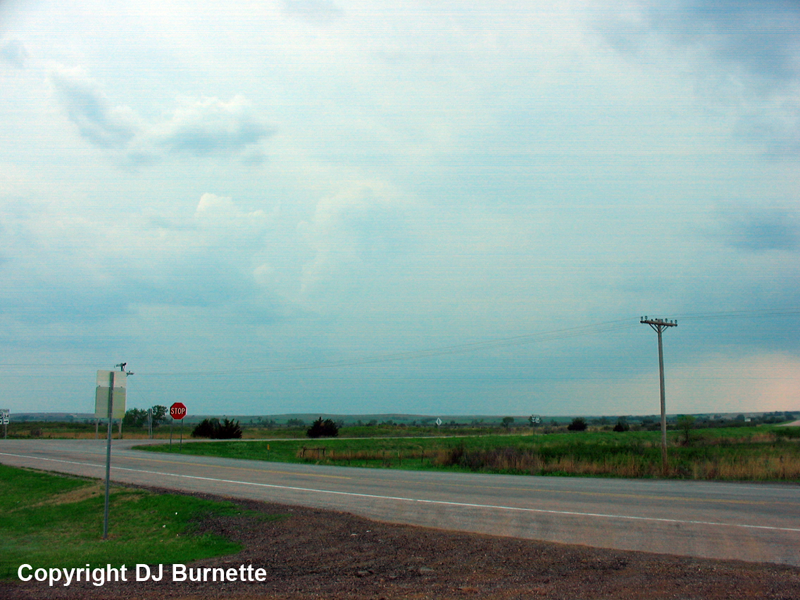
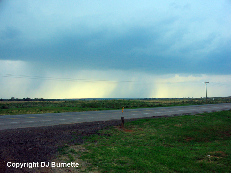
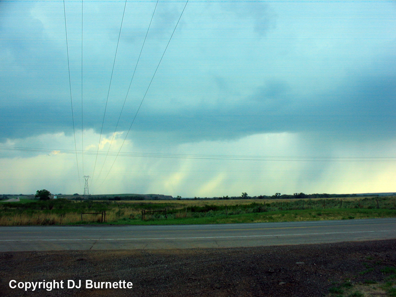
A frustrating storm chase day, as storms quickly morphed into an outflow dominant mess from northwestern OK northeastward into KS. We were sitting in Alva, OK, as the thunderstorms began to develop to our west. We intercepted the quickly evolving line at the intersection of U.S. 64 and OK-34 northwest of Freedom, OK. Overall, the line was not too impressive looking from the ground (see images below; view is northwest of Freedom looking north, southwest, and west from left to right), but the radar images below showed that this part of the line was the strongest at the moment (car symbol denotes our location).
Vance Air Force Base, OK Storm Relative Velocity 2125Z
Vance Air Force Base, OK Vertically Integrated Liquid 2125Z
Vance Air Force Base, OK Base Reflectivity 2133Z
Vance Air Force Base, OK Storm Relative Velocity 2133Z
Vance Air Force Base, OK Vertically Integrated Liquid 2133Z
The storms quickly "filled in" along the cold front from northwestern OK northeastward into KS, but they were broken up into line segments farther southwestward into the TX Panhandle. Thus, we moved southwest across western OK in hopes of intercepting a storm at the end of a line segment or one of the isolated supercells coming out of the TX Panhandle. We kept a close eye on the storms to our west, and the farther southwest we traveled, the more scrubby the storms across northwestern OK looked. Eventually, all severe thunderstorm warnings expired, and the only game in town were the cells in the TX Panhandle, which had a history of producing tornadoes.
We made an attempt at catching up to those storms. However, it required a core punch, and we moved through one of the weaker storm cells in westcentral OK. We kept a very close eye on the hail size as we punched south, but never observed anything larger than dime-sized and most were smaller. Alas, by the time we arrived at I-40, it was getting dark and the storm we were after had taken a hard right turn and was moving to the south away from us. We knew we would not be able to catch it. Thus, we called it a day and were treated to off and on rain and lightning on the trip back to Fayetteville. Thanks to Cory Phelps for nowcast information.