Storm Chase Log 29 May 2006
Chasers: Dorian J. Burnette, Sarah Glenn, Jeremy Howard, David LaRue, Brittany Millspaugh, Cory Phelps, and Chris Wilson
Preliminary Destination: Medicine Lodge, KS
Note: Images have been decreased in size. Click on an image to view a larger version.
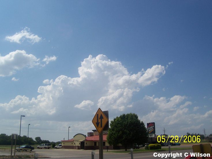
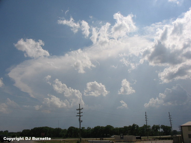
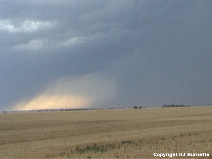
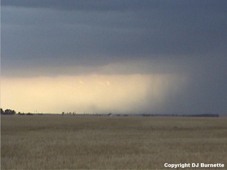
The storm chase commenced in Medicine Lodge, KS where we sat for about an hour watching growing storm towers primarily off to our west and southwest (images below; view is looking west and southwest from Medicine Lodge). We were also watching the radar and satellite data, and as 5 p.m. approached, the storms to our southwest in northwestern OK began to look increasingly interesting. Thus, we moved south out of Medicine Lodge on U.S. 281 to intercept.

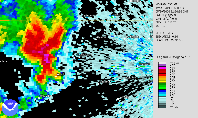
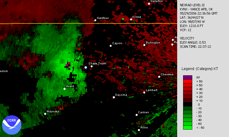
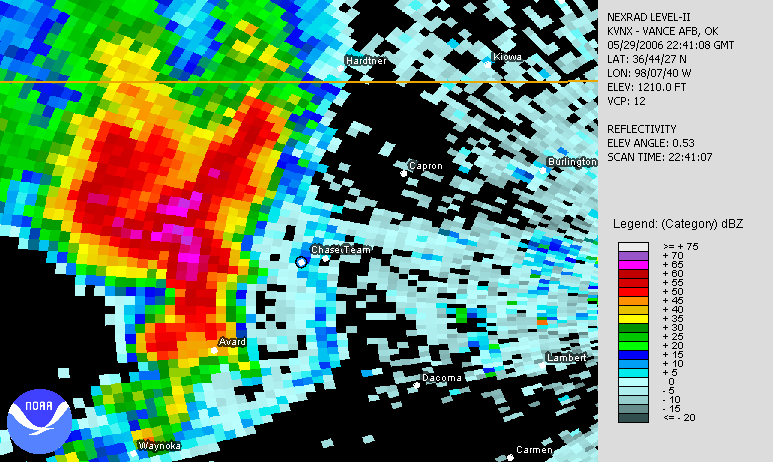
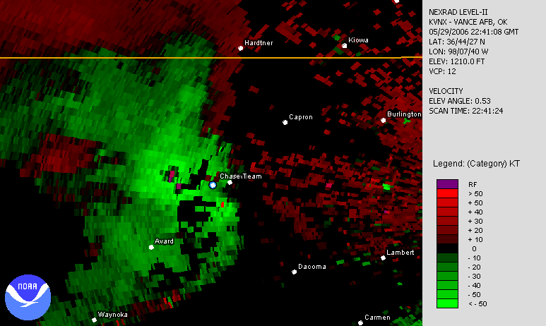
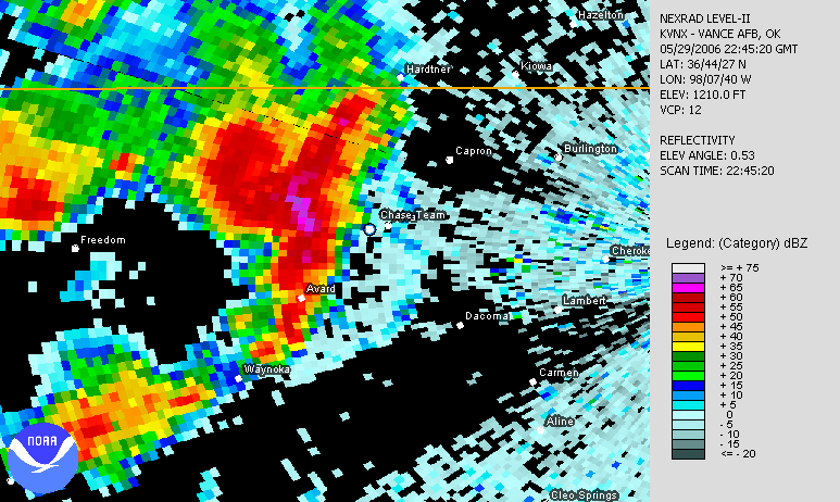
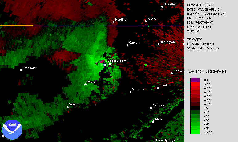
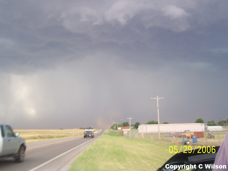
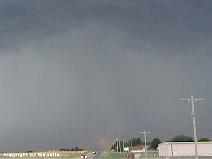
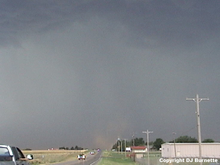
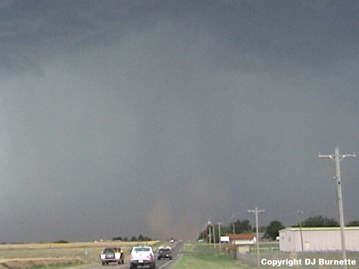
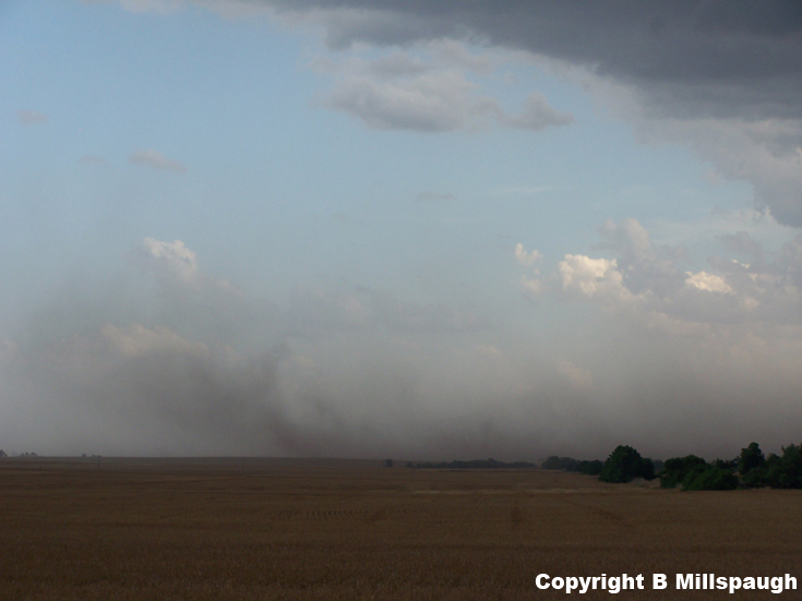
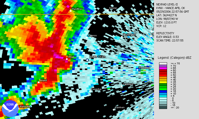
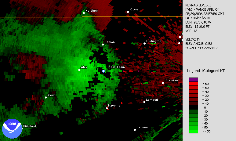
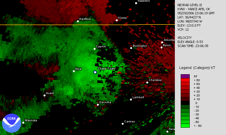
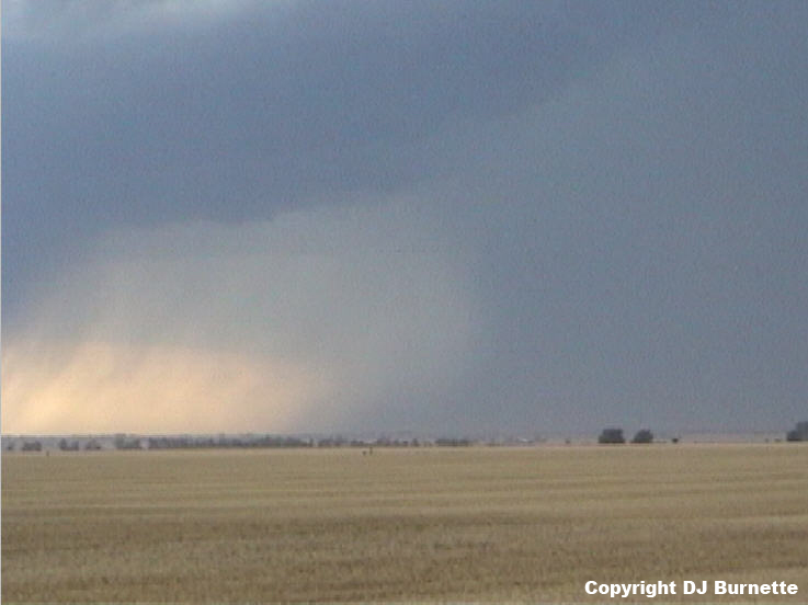
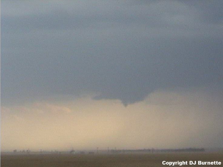
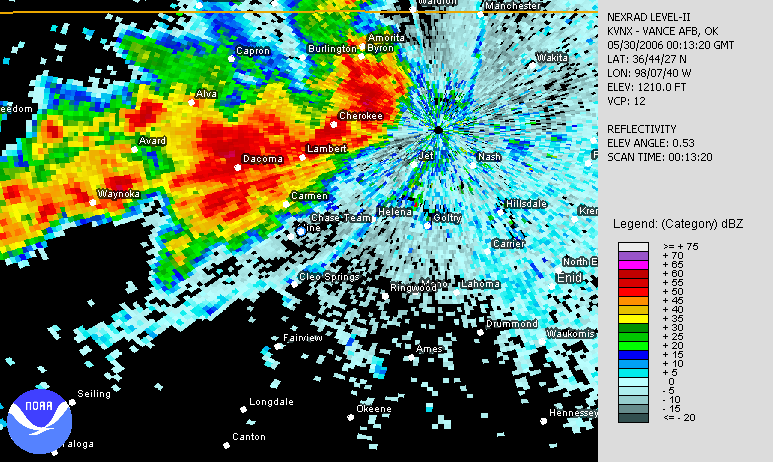
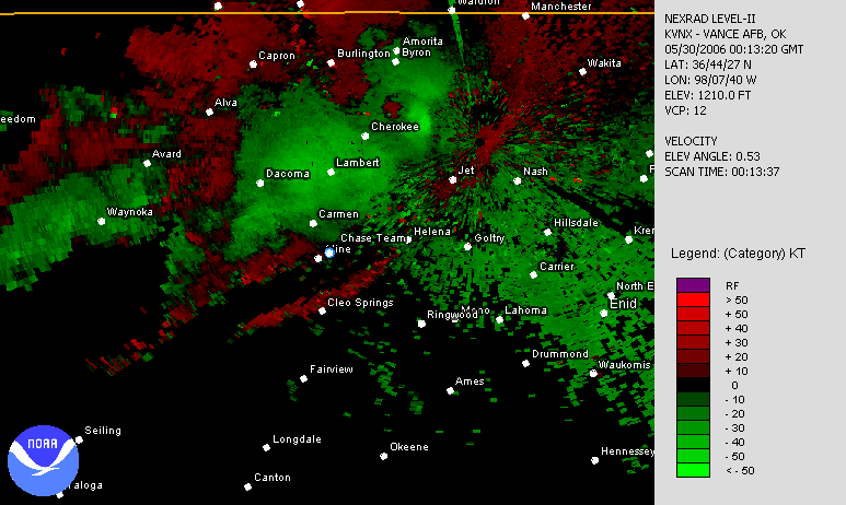
The best storm was located west of Alva, OK, and we arrived at a good location to view it on U.S. 64 around 5:35 p.m. The storm was showing a couple of inflow notches on radar base reflectivity. Unfortunately, the velocity data are range folded in the location of interest (links to radar below with a blue/white dot denoting our location). Regardless of whether or not there was some modest rotation going on with the storm, our main observation was outflow--lots of outflow. A brief gustnado did develop to our west on the leading edge of a strong downburst (images below; view is west of Alva, OK looking west).
Vance AFB, OK Base Velocity 2236Z
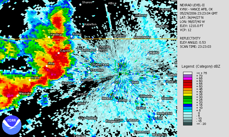
Vance AFB, OK Base Reflectivity 2241Z
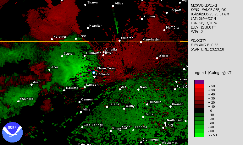
Vance AFB, OK Base Velocity 2241Z
Vance AFB, OK Base Reflectivity 2245Z
Vance AFB, OK Base Velocity 2245Z
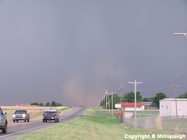
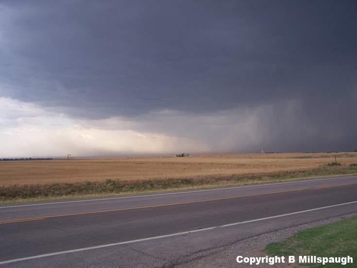
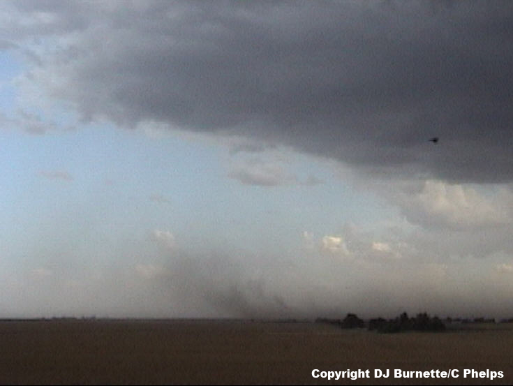
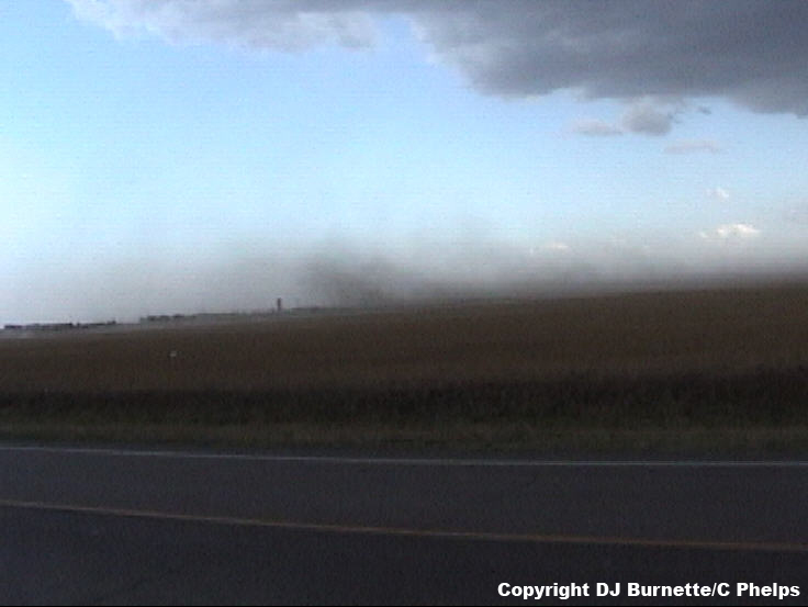
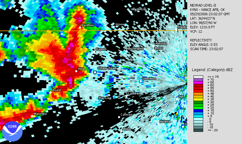
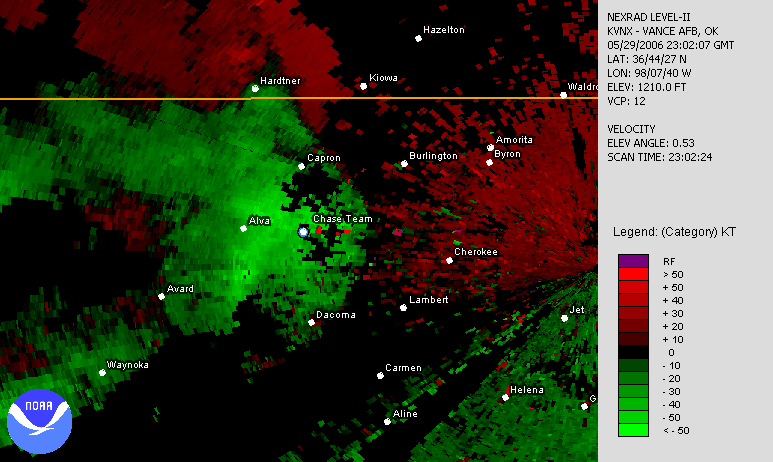
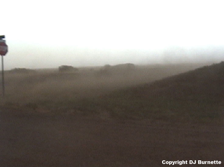
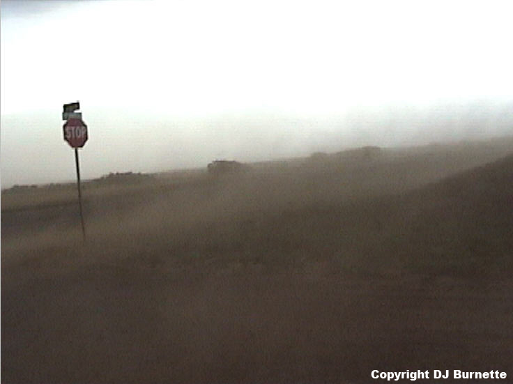
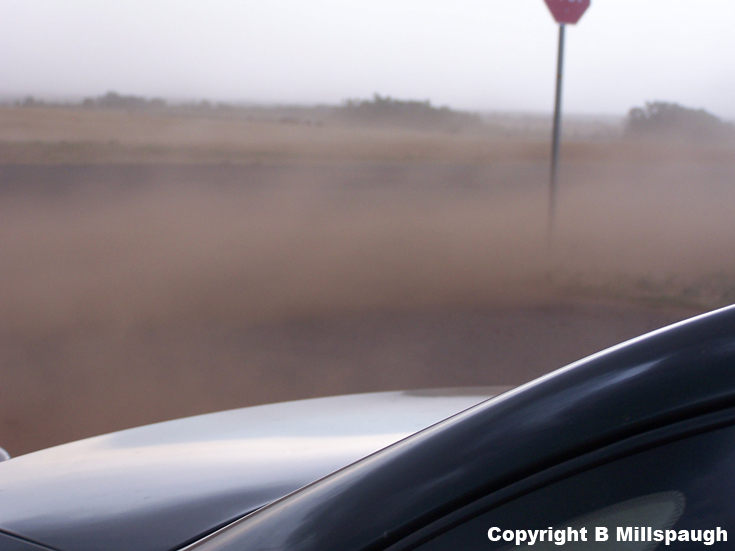
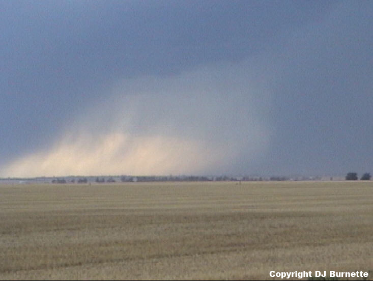
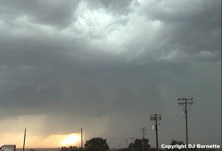
Downburst winds were the main story on this storm chase, and we got our own sample of these winds during our next stop east of Alva, OK. We stopped well ahead of the storm itself, but the downburst winds from the storm were accelerating eastward and quickly arrived at our location (links to radar images are below with a blue/white dot denoting our location). This was not surprising, and Chris Wilson had his wind instrument ready to measure the velocity as the gust front passed by. He and Cory Phelps attempted to read it while ducking behind the car, and it registered wind gusts into the 50 mph range. It may have been underestimating the winds a bit given that Alva, OK recorded a wind gust to 66 mph. Overall, we likely experienced wind gusts on the order of 55 to 65 mph as the gust front moved by. The images below reveal the dust/sand-blown experience!
Vance AFB, OK Base Velocity 2257Z
Vance AFB, OK Base Reflectivity 2302Z
Vance AFB, OK Base Velocity 2302Z
Vance AFB, OK Base Reflectivity 2306Z
Vance AFB, OK Base Velocity 2306Z
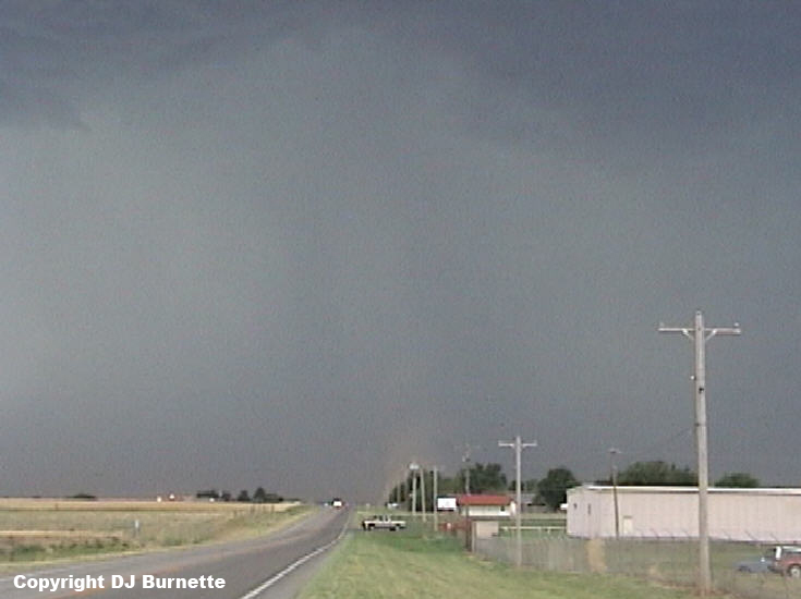
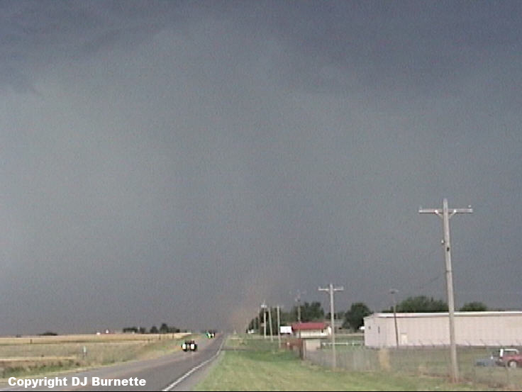
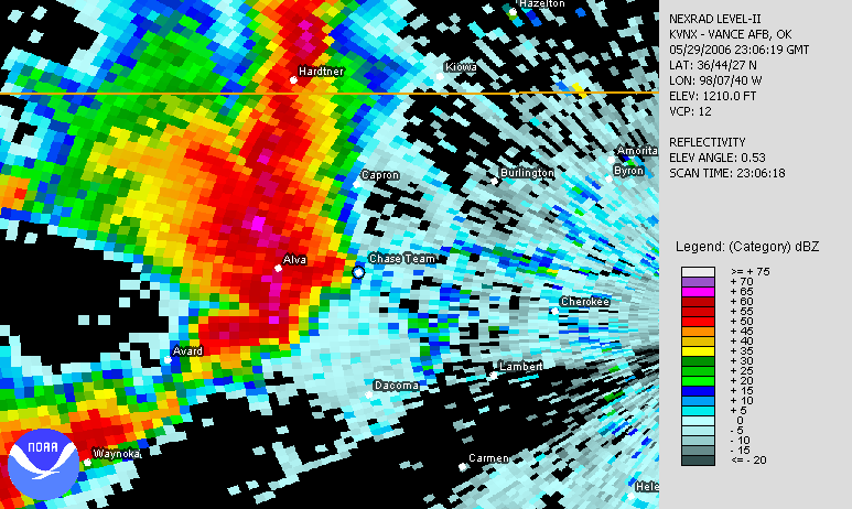
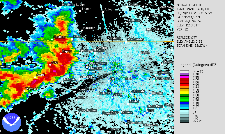
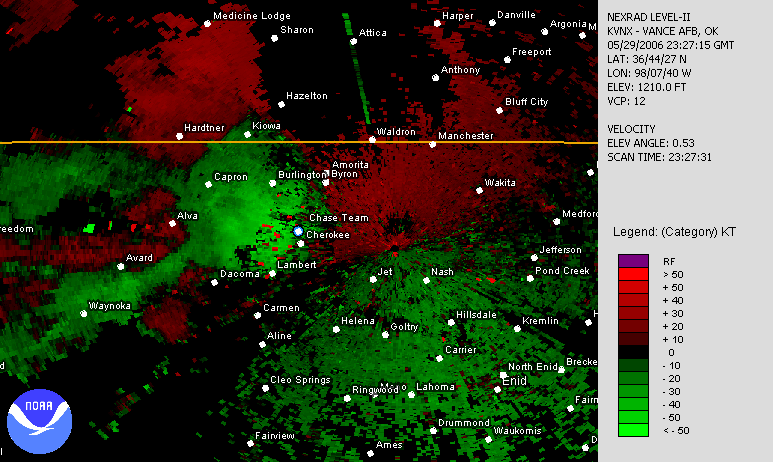
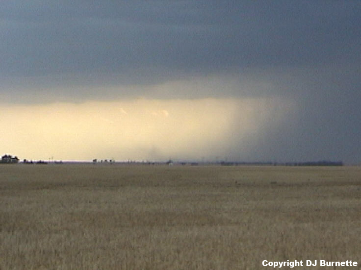
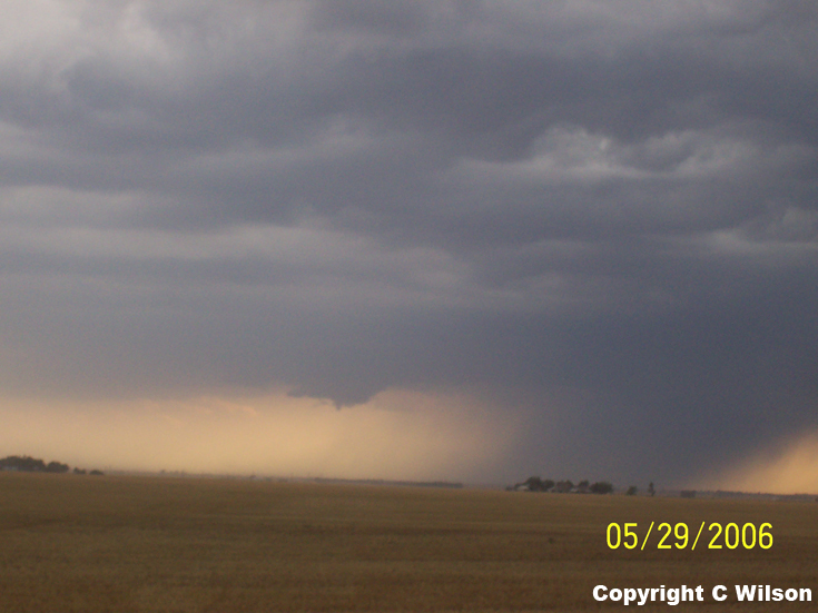
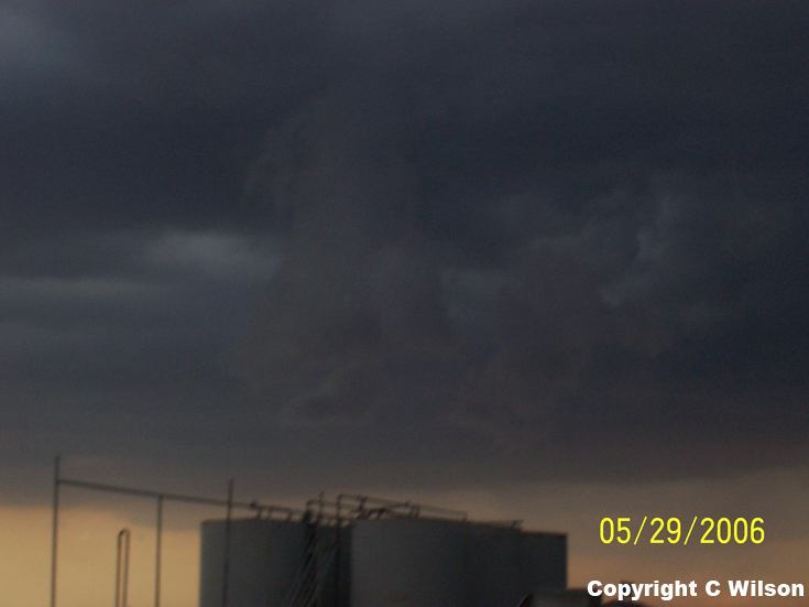
The outflow winds were weakening the farther east they moved, and we were easily able to overtake the gust front as we moved eastward on U.S. 64. U.S. 64 turns south north of Cherokee, OK, and we made a third stop at that location to continue to observe the storms to the west and southwest of us (links to the radar images are below with a blue/white dot denoting our location). We continued to observe downburst winds but we also observed the development of a high-based wall cloud (images below; view is north of Cherokee looking southwest). The overall environment really was not conducive for tornadoes because the storms were becoming outflow dominant quickly and their cloud bases were high. This minor wall cloud lasted only a few minutes and then dissipated.
Vance AFB, OK Base Velocity 2323Z
Vance AFB, OK Base Reflectivity 2327Z
Vance AFB, OK Base Velocity 2327Z
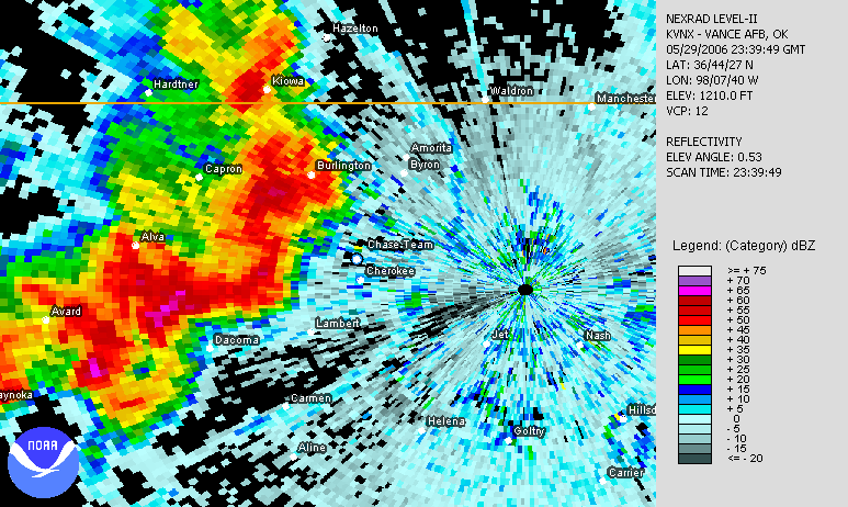
Vance AFB, OK Base Reflectivity 2339Z
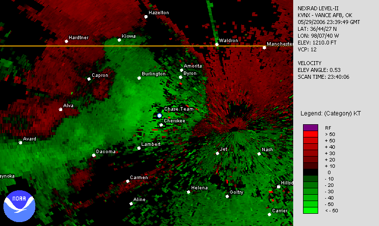
Vance AFB, OK Base Velocity 2339Z
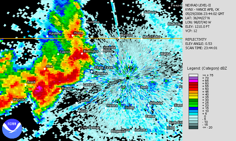
Vance AFB, OK Base Reflectivity 2344Z
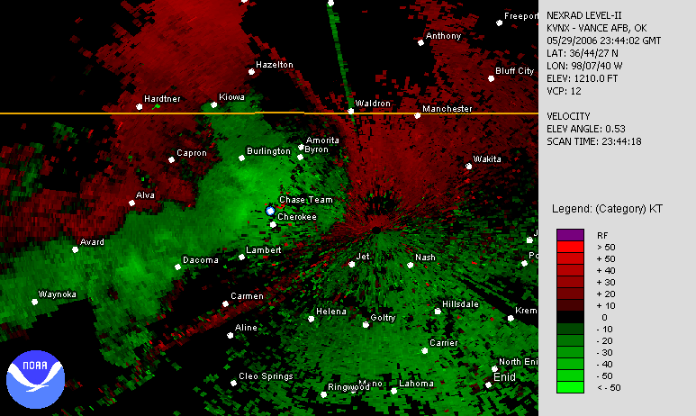
Vance AFB, OK Base Velocity 2344Z
The better storm organization (though it was not great) was definitely off to our southwest, so we continued south on State Highway 8 and stopped southeast of Carmen, OK. Radar images during this stop are below (our location is denoted by a blue/white dot). Only ragged SLCs (Scary Looking Clouds) were observed (images below; view is southeast of Carmen looking west) with downbursts occurring farther to the north.
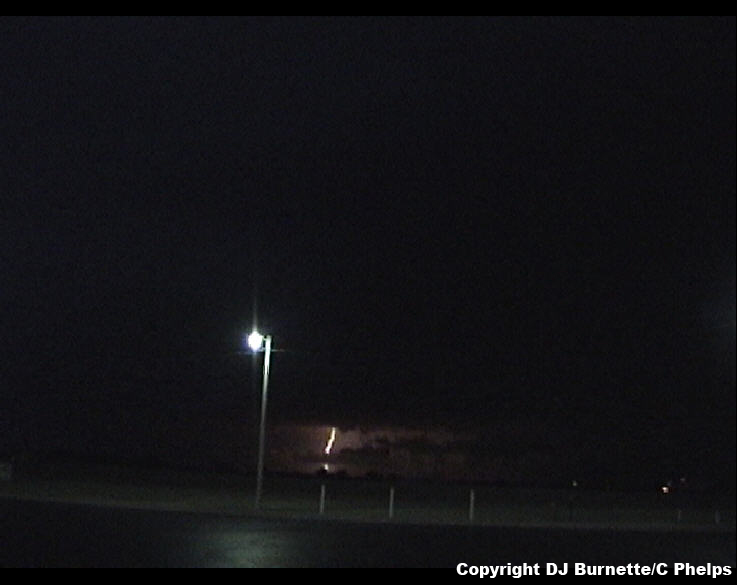
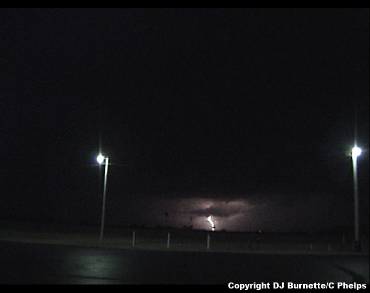
We continued to follow the storm to the southwest, and eventually ended up southwest of Cleo Springs, OK looking at clouds which were no longer impressive. We decided that we would follow the tail end of the storm eastward watching for any signs of organization, but nothing was noted and darkness was approaching. The storm chase ended viewing and photographing lightning from a truck stop on I-35 east of Billings, OK (images below; view is east of Billings, OK looking west).
Thanks to Kim Huschka at WeatherData for an early morning discussion, and thanks to Rodney Price and Jeff House at WeatherData for nowcasting support in the afternoon and evening.