Storm Chase Log 12 June 2004
Chasers: Dorian J. Burnette, Joseph Crane, Jess Gagnon, Jeremy Howard, Brittany Millspaugh, and Cory Phelps
Preliminary Destination: Hutchinson, KS
Note: Images have been decreased in size. Click on an image to view a larger version.
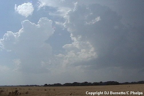
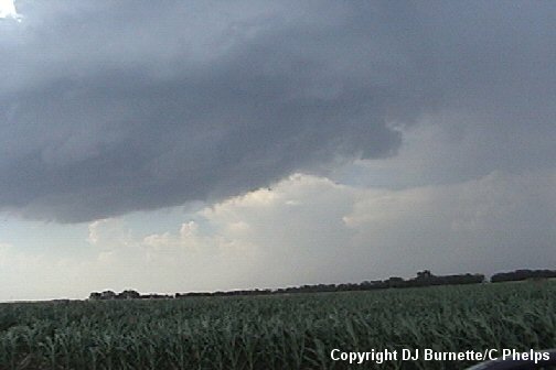
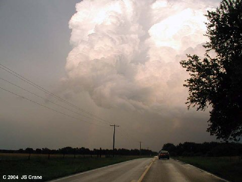
We departed for Hutchinson, KS shortly after 2 p.m. CDT. Upon arrival in Hutchinson, we observed numerous towering cumulus clouds. A tornado watch had been issued, and I telephoned both KSN and WeatherData to let them know what we observed in our location. We continued to watch the ever growing towers, and eventually moved east on U.S. 50 and sat in extreme western Harvey County east of the town of Burrton, KS to watch the towers grow into a full-fledged thunderstorm (images below; view is northeast of Burrton, KS looking northwest).
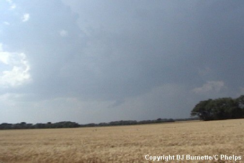
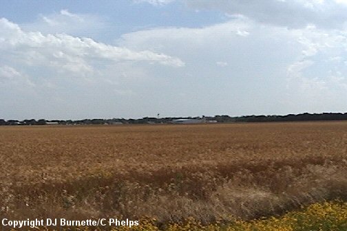
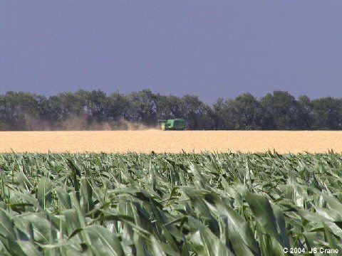
We also captured images of the storm to our south in Harper County (first image below; view is northeast of Burrton, KS looking south-southwest). Joe Crane also captured an image of the wheat harvest with our thunderstorm moving by in the background (second image below; view is northeast of Burrton, KS looking north).
The National Weather Service had issued a severe thunderstorm warning for our storm that was now entering McPherson County. We did observe a couple of cloud-to-ground lightning strikes, but nothing else of note. Although, storm spotters had reported some modest hail ahead of our location.
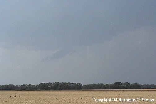
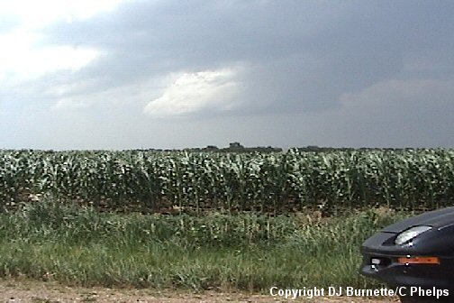
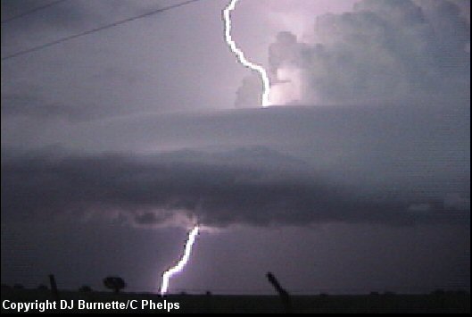
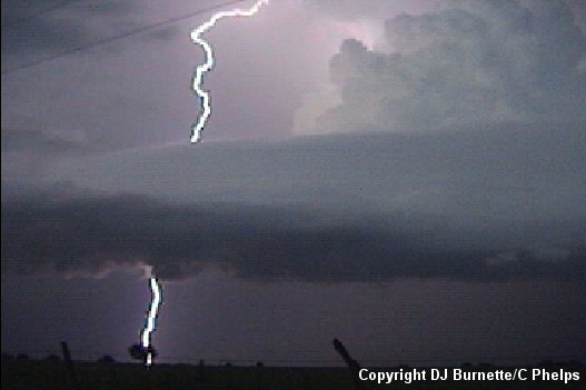
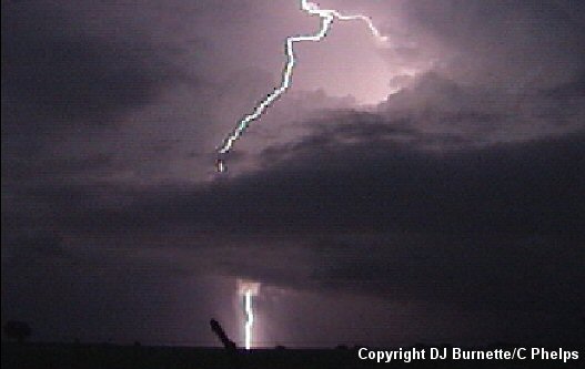
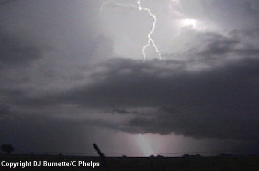
We continued to follow the storm northeast into McPherson County, and sat in the southern part of the county to continue taking pictures and video (images below; view is southwest of Moundridge, KS looking north).
The storm gradually become more and more disorganized with time. It appeared to be having significant problems becoming surface-based despite good inflow that we did note with it. Meanwhile, the Harper County storm was still going, and we were preparing to move to the south toward it since our storm was dying. However, upon a phone call to KSN, we were informed that the Harper County storm also was not looking very healthy but a storm up by Salina was. Thus, we moved northward on I-135 toward Salina, but as we arrived in the city, the Salina storm died and the Harper County storm (now moving into Sumner County) got its act together and prompted a tornado warning. We were, obviously, way out of position, and sat in Salina to make certain some towers off to the west were not going to develop before moving back to the south as quickly as possible.
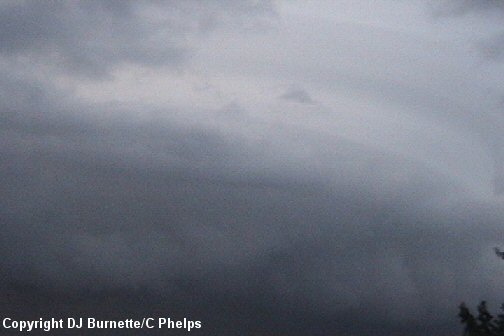
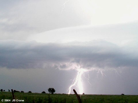
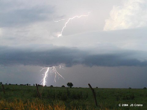
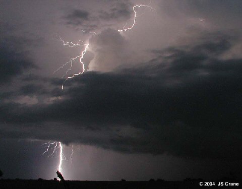
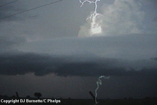
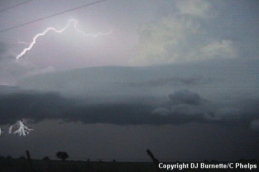
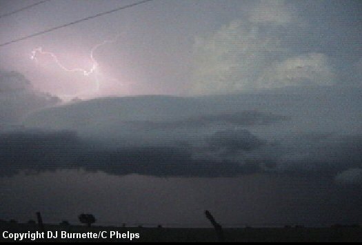
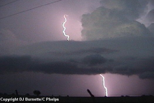
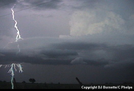
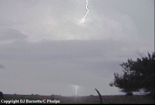
We arrived in Wichita and moved around to the east side of the city shortly after the tornado near Mulvane. We caught up with the storm as it moved into eastern Cowley County around sunset. We noted a wall cloud for a brief time, but no tornadoes were observed. Joe Crane captured a very good picture of the storm with a rainbow as we closed in on its backside (image below; view is in eastern Cowley County looking east). We eventually ended up west of the Cowley/Elk County line looking northeast and east video taping and photographing an incredible lightning show (images below). Also of note is the saucer shape to the storm (second image below).
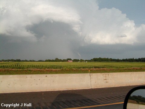
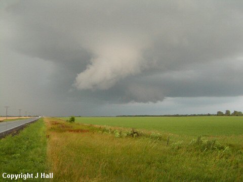
As darkness fell, we heard of a possible tornado a little farther to our east. We followed the storm into western Elk County, but it was way too dark to see anything. Thus, we let the storm go, and began our journey back home. While we missed the tornadoes, Joe Hall happened to be near Mulvane during the tornado. A couple of his pictures are below (Mulvane tornado in the first image and a wall cloud in the second image).
This was a very interesting storm chase with the final environmental setup playing a critical role in thunderstorm development and evolution. Another thing of note with this storm chase was that we observed a ton of folks out to attempt to see a tornado who should not have been out in the field at all! These folks were looking in what would have been quite obvious incorrect locations to anyone with the proper knowledge of severe thunderstorms. In addition, some of these yahoos were parking in blocked construction zones. I have not seen a year as bad as this one has been in regards to this type of crap. While this is part of the problem when tornadoes impact major metropolitan areas, we are approaching a time when a major catastrophe will ensue due to a backbuilding tornadic thunderstorm or due to the rapid development of a tornado along the flanking-line away from the main wall cloud.
Thanks to Andrew Gagnon, Scott Breit, Mark Bogner, Dave Schaffer, Wes Etheredge, and Dean Jones for comments and nowcasting support!