Storm Chase Log 11 June 2002
Chasers: Dorian J. Burnette, Adam Kennedy, and Cory Phelps
Preliminary Destination: McPherson, KS
Note: Images have been decreased in size. Click on an image to view a larger version.
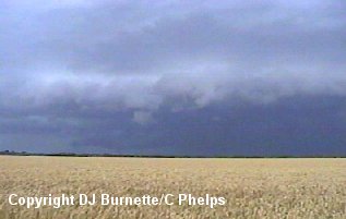
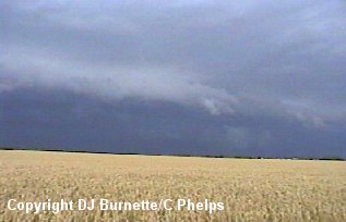
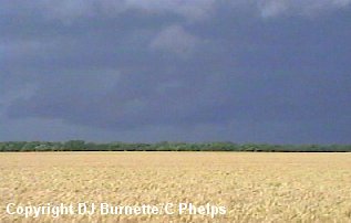
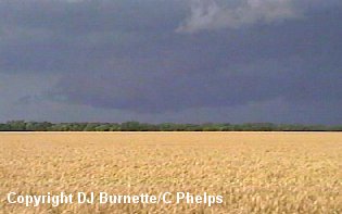
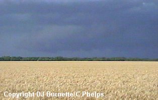
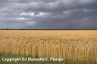
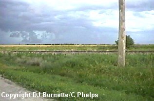
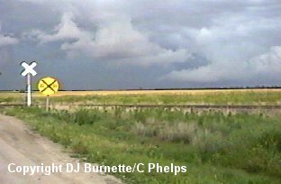
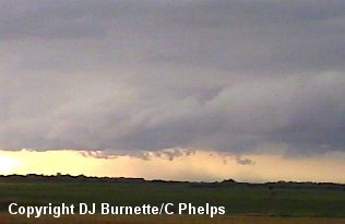
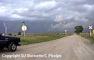
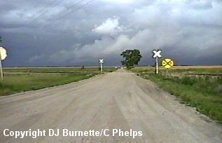
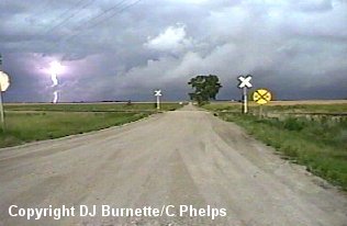
The atmosphere was in a three day long pattern of producing severe storms in Kansas. With all sorts of projects to accomplish, I decided to wait until absolutely the last minute before venturing out. We left Wichita shortly after 5:30 p.m. CDT bound for McPherson on I-135, as a tornadic supercell was located in Ellsworth County. Once we moved slightly north of Moundridge, we noticed the high-precipitation supercell in front us. Once again we would never arrive at the preliminary destination. Instead we got off I-135 at the Elyria exit. This seems to have been the year for tornadoes around the McPherson, Elyria, Moundridge areas! Although, this was quite by coincidence. We eventually ended up on a dirt road west of Elyria. The following set of images were taken at this time. The view is looking east toward Elyria.
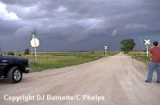
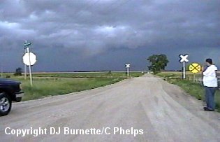
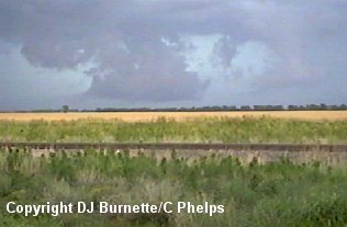
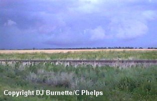
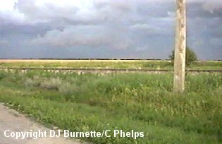
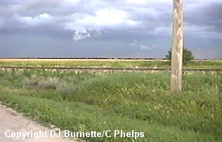
I made phone calls to KSN during this time to report what we were observing. Eventually, we had to move as the storm continued to expand outward toward us. We moved north to K-61 and then northeast a short distance toward McPherson. We stopped to the southwest of McPherson and northwest of Elyria to take some more pictures of the storm. We observed off and on wall clouds that never did anything more (images below). The guy in the red shirt is Adam Kennedy and the guy in the white shirt is Cory Phelps. The view is looking southeast toward Elyria.
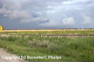
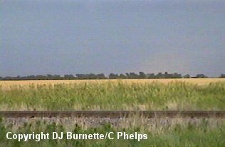
We also captured some downburst winds (images below). The view in the first three from left to right is looking southeast toward Elyria. The view in the image on the far right is looking northeast toward McPherson.
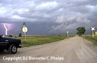
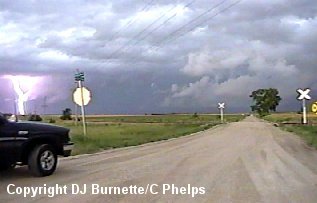
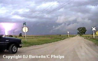
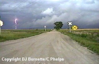
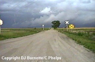
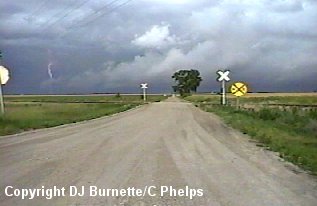
We also captured two sequences of cloud-to-ground lightning. The first set of images is looking east toward I-135 between McPherson and Elyria.
The second set of images is looking southeast toward Elyria. One of the images does not have a visible lightning channel in it, as the lightning channel temporarily ceased for one frame only to reappear in the next frame. The sequence goes from left to right and top to bottom.

We also met up with a very nice guy by the name of Eric who was down from the Kansas City area, and he joined us shortly after we arrived at our point southwest of McPherson.
Eventually it was time to move southwestward on K-61 staying out of the storm as it continued to build back to the southwest and move east-southeast. As we were moving southwestward, I made a phone call to WeatherData to report to them what we had seen so far and inquire about what the storms looked like on radar. Guy Pearson mentioned that the storms were evolving into a squall line. At this time there was a tornado warning out for a particular cell in Marion County, and we were well away from that one at the moment. Guy mentioned that the area on the southwest end of the line (just west of our location) looked the most interesting at the moment, so we continued our present course monitoring the southwest end of the line for any development. We saw some downburst winds here and there, but nothing more than that.
We eventually ended up east of Hutchinson on U.S. 50. observing the line of storms. The storms did not look very impressive to us. A call to both KSN and WeatherData confirms that the storms are lined out in a big squall line and probably contain some straight-line winds and penny-size hail, but not much more than that. With that being the case we shook hands with Eric who headed back toward the north and we meandered back toward Wichita.
On our way into Wichita, we noticed a large low hanging cloud off to the north of the city (toward Kechi). More than likely it was a nasty shelf cloud given the look of the storms on the radar, but it was hard to be certain since daylight was quickly becoming nil. We decided to go take a look at it to be certain of what it was. We ended up in Kechi near the K-254 and Woodlawn interchange looking off to the north and northeast. It was indeed a shelf cloud and nothing more. After spending about 15 minutes there, we continued on into the city of Wichita toward home.