Storm Chase Log 18 April 2002
Chasers: Dorian J. Burnette, Joseph Crane, Greg Hutchinson, Brad Johnson, and Cory Phelps
Preliminary Destination: Hutchinson, KS
Note: Images have been decreased in size. Click on an image to view a larger version.
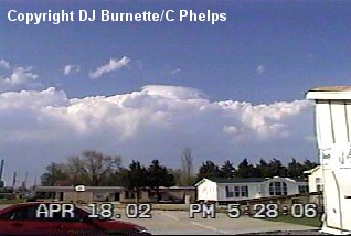
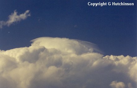
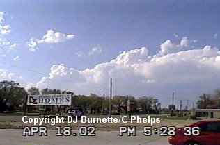
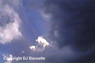
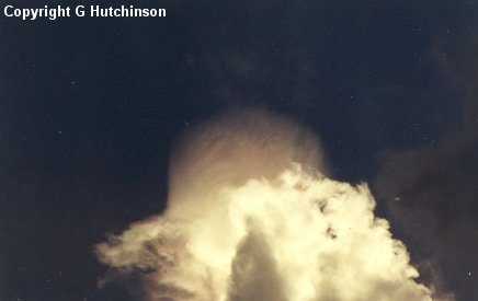
We began the storm chase by heading northwest out of Wichita to South Hutchinson. On our way, we noticed a number of towering cumulus clouds, but the cap was holding things at bay for the moment. In fact, we waited at the intersection of U.S. 50 and K-96 for about an hour watching off and on development (images below).
We were also looking at radar data on the Internet, and noticed some development occurring off to the southwest of us. The idea with this chase was to sit at the triple point for the initial development. Thus, while some development was occurring to the southwest, the triple point was just to our north, and we ignored the development to the southwest. Eventually, one of the storms to our north (toward McPherson) began to show signs of better organization, and we decided to make a break for it by taking K-96 into Hutchinson and then taking K-61 northeast toward McPherson. On our way, we heard of a tornado warning for McPherson County with a tornado reported from the storm. Unfortunately, there was construction in our way, and it took quite some time for us to move through the construction and approach the southern edge of the storm southwest of McPherson.
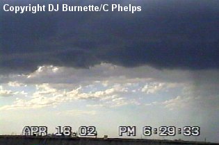
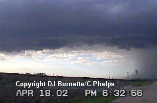
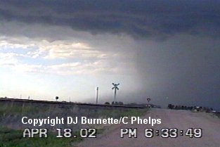
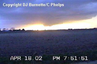
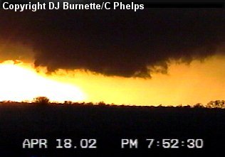
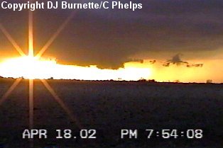
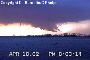
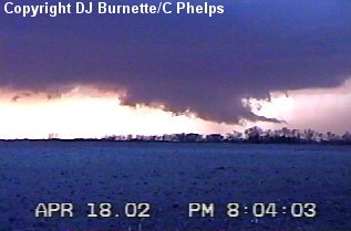
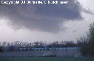
We had no chance of tracking the tornadic activity reported with the storm, as rain and hail were in our way. Thus, we decided to pull off on a dirt road between Inman and McPherson and keep an eye on the back end of the storm for new development. I made a telephone call to KSN in order to let them know where we were. Dave Schaffer mentioned there was good rotation with the storm in our general location, but from our view we observed, at best, weak rotation. We observed some convergence and experienced a decent amount of wind blowing into the storm, but no wall clouds were ever noted. We did observe a potent downburst from the storm (images below). The following set of images were taken during this time. The view is looking north and northwest toward McPherson and Windom.
Eventually, the wind shifted direction and outflow from the storm was noted at our location. It became quite clear that the storm was not going to produce any further tornadoes. We did note another developing thunderstorm off to the southwest, and I maded a telephone call to WeatherData in order to find out what was going on with it. Mike Smith mentioned the storm looked very healthy on radar, and may do something as it moved northeast toward the outflow we were experiencing. This seemed very reasonable to me, so I directed the chase team back to the southwest on K-61 toward the new thunderstorm.
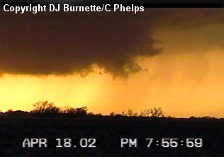
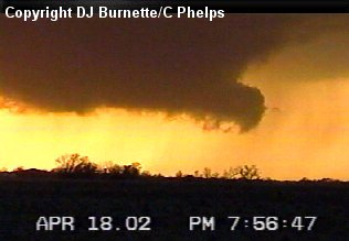
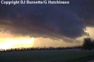
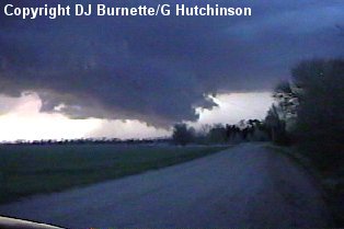
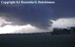
Once we got south of Inman, we turned onto a dirt road and moved west toward the rain-free base of this new storm. This time things became very interesting very quickly. As we continued to move west toward the storm, we noticed a wall cloud developing. We stopped on a dirt road with a good view of the wall cloud to take some pictures (images in sequence below). The view is looking west-northwest toward Saxman.
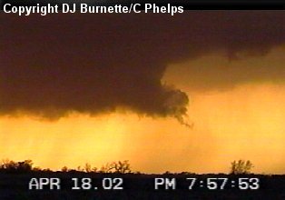
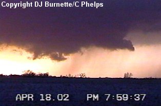
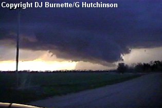
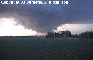
The storm was doing lots of barking but no biting with the wall cloud continuing to go through cycles. We continued to follow it meandering northward on dirt roads about 15 miles east of the town of Saxman (images below). The National Weather Service received a report of a possible funnel cloud from law enforcement, and issued a tornado warning on the storm. We were less than a mile from the wall cloud, and while one could make an excuse for a possible funnel cloud, it was mainly a very low wall cloud. No tornado was ever observed.
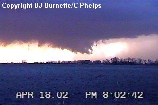
Despite the darkness upon us, we continued to follow the wall cloud up toward McPherson. However, it never became as organized as it was earlier, and it dissipated about 15 minutes later. I made a phone call to KSN to let them know that the danger had passed, and that was supported by what they were observing on radar.
After a brief stop with the KSN satellite truck south of McPherson, we traveled southward on I-135 back to Wichita.